


PFRA - final report
|
The final version of the PFRA review and update project was based on an earlier project and includes all changes resulting from the governors’ opinions being taken into account. The final version of the UPFRA project was handed over to the Minister of Maritime Economy and Inland Navigation who pursuant to art. 168 items 3, 5 and 8 of the Water Law:
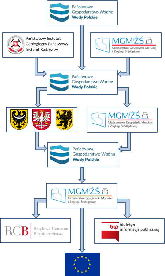
On 21 December 2018, the report on the review and update of the preliminary flood risk assessment was published on the website of the Public Information Bulletin of the Ministry of Maritime Economy and Inland Navigation. The report on Poland's review and update of the preliminary flood risk assessment shall be presented to the European Commission by 22 March 2019. As a result of the review and update of the PFRA, FRAs were determined for:
In addition, watercourses with a total length of 1,374.4 km and showing a significant risk tendency have been indicated. |
 |
- Floods from the sea, including internal waters – 1,104.5 km of coastal rivers / sections of the coast were identified as FRAs, of which:
- 503,0 km is estuaries (to the Baltic Sea),
- 499,5 km is coastland,
- 102,0 km is reservoir sections,
- Szczecin Lagoon and Dziwna Straits, which do not have a mileage.
- Floods resulting from the destruction or damage of dams – 26 dam reservoirs with the dam height over 10 m, 10 in the Odra basin and 16 in the Vistula basin have been identified as FRAs.
In addition, 1 reservoir showing a tendency towards significant flood risk was indicated.
The final report on the implementation of the review and update of the preliminary flood risk assessment in the planning cycle 2016-2021 (UPFRA) with appendices is available for download below:
Report on the implementation of the review and update of the preliminary flood risk assessment
Appendix no. 1 to the report on the implementation of the UPFRA (methodology):
- Updated methodology of the preliminary flood risk assessment
- Methodology for the preparation of preliminary flood risk assessment (PFRA) for flooding from groundwater (permeation)
- Methodology for the development of a preliminary flood risk assessment (PFRA) for flooding from the sea
Appendix no. 2 to the report on the implementation of the UPFRA:
Appendix no. 3 to the report on the implementation of the UPFRA:
Appendix no. 4 to the report on the implementation of the UPFRA:
Cartographic visualisations of the review and update of the preliminary flood risk assessment were performed for the territory of Poland and in river basin areas, water regions and provinces. They are available for download in the project library.